Satellite Radar

Satellite Radar

Satellite Radar

Satellite Data for Landslide and Tree Fall Detection


Satellite Data for Landslide and Tree Fall Detection


Satellite Data for Landslide and Tree Fall Detection


Landslides and tree falls are a major cause of death and injury around the world.

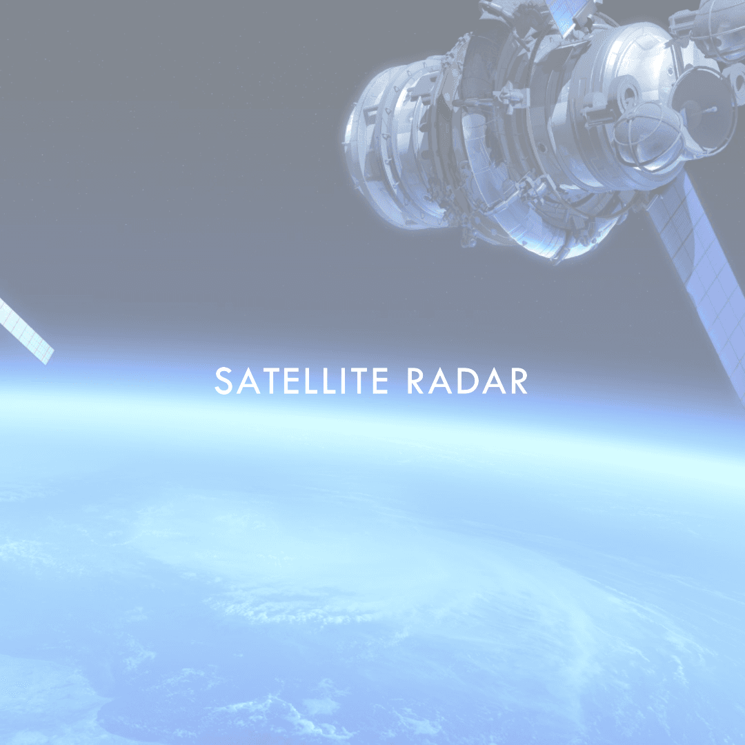
Our product uses satellite data to detect potential landslide and tree fall areas.

Pinpoint Accuracy

Pinpoint Accuracy

Pinpoint Accuracy

🌲 Analyzing the moisture content of the soil

🌲 Analyzing the moisture content of the soil

We can use satellite data to measure the moisture content of the soil. This information can help us to identify areas that are at risk of landslides.

🌄Identifying unstable slopes

🌄Identifying unstable slopes

We can use satellite data to identify slopes that are unstable. This information can help us to identify areas that are at risk of landslides.

🌧 Tracking tree growth

🌧 Tracking tree growth

We can use satellite data to track tree growth. This information can help us to identify trees that are at risk of falling.

“I wouldn't know what's up if not for Satellite Detection. It’s like having a crystal ball for Mother Nature!”

By detecting potential landslide and tree fall areas, we can help to prevent accidents and save lives.

“I wouldn't know what's up if not for Satellite Detection. It’s like having a crystal ball for Mother Nature!”

By detecting potential landslide and tree fall areas, we can help to prevent accidents and save lives.

Waiting list

Waiting list

Waiting list

No spam messages

Product infomation

Register waiting list

© RadarBot

Generated on: August 21, 2023